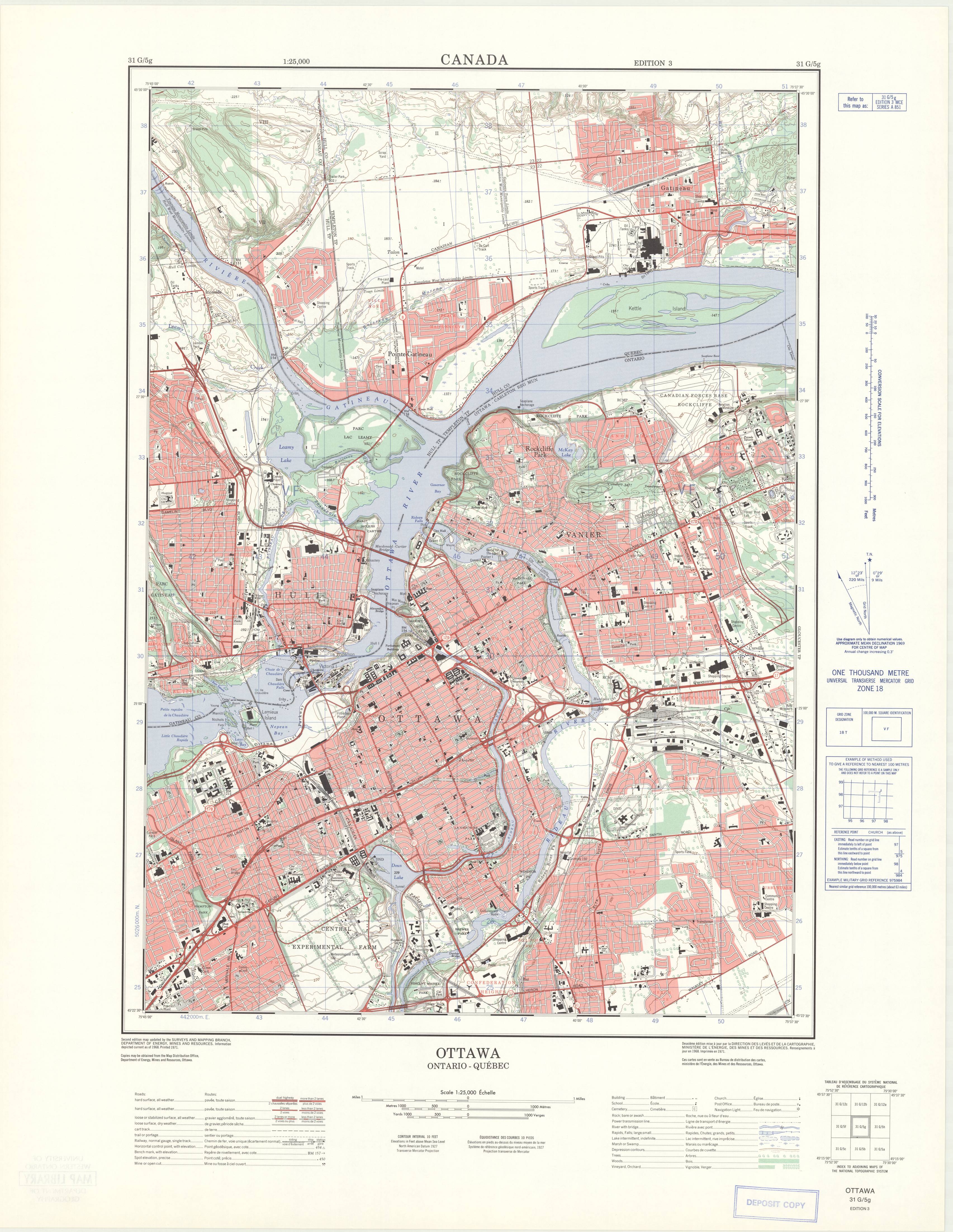
Ottawa, Ontario. 1:25,000. Map Sheet 031G05G, ed. 3, 1971
This is a georeferenced raster image of a printed paper map of the Ottawa, Ontario region (Sheet No. 031G05G), published in 1971. It is the third edition in a series of three maps, published between 1961 and 1971, and is unusual in that coverage extends into the United States of America. In many of these cases, information was obtained from the U.S. American Mapping series, before being scribed by the Canadian Design Service.
The photograph used to create this map was originally taken in 1968, by the Survair Limited, based out of Ottawa, ON, Canada. These various surveys were under the Surveys and Mapping Branch of the Department of Energy, Mines and Resources, Government of Canada.
View in Scholars GeoPortal | Download image
Hover over the map with your cursor to magnify an area, and scroll to zoom in and out.


