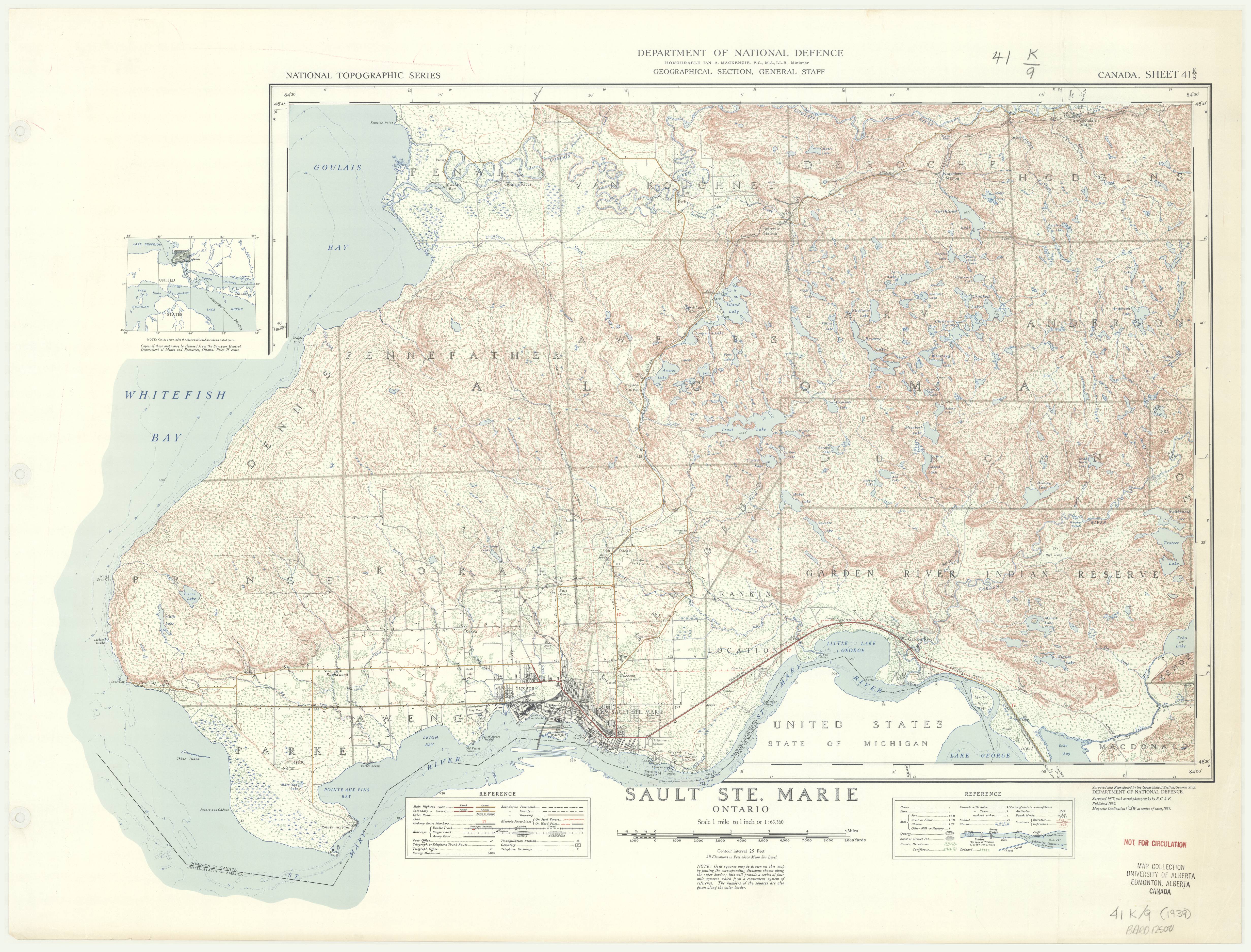
Sault Ste. Marie, Ontario. 1:63,360. Map Sheet 041K09, [ed. 1], ungridded, 1939
This is a georeferenced raster image of a printed paper map of the Sault Ste. Marie, Ontario region (Sheet No. 041K09), published in 1939. It is the first and only edition of this map, and is unusual in that the map was extended in order to include an area outside of the index grid, the Peninsula. A gridded version of this map (MB Grid System) was also published in the same year.
The survey for this map was conducted in 1937 using imagery taken by the Royal Canadian Air Force, as part of a national topographical survey originally commissioned by Department of Militia and Defence in 1904. This survey was completed by the Geographical Section, General Staff, Department of National Defence.
View in Scholars GeoPortal | Download image
Hover over the map with your cursor to magnify an area, and scroll to zoom in and out.


