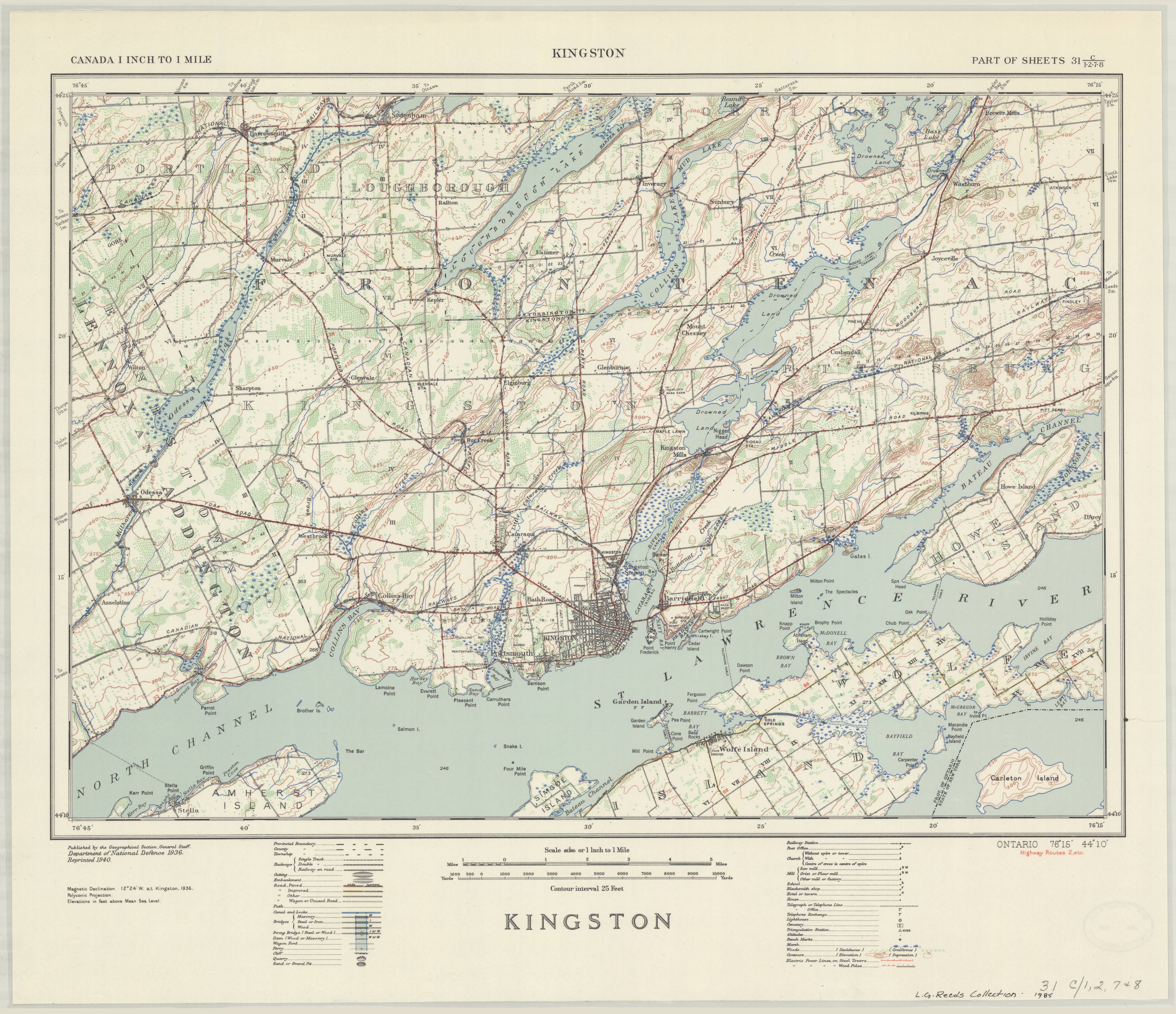
Kingston, Ontario. 1:63,360. Map Sheet 031C01-C02-C07-C08, [ed. 1], 1940
This is a georeferenced raster image of a printed paper map of the Kingston, Ontario region (Sheet No. 031C01-C02-C07-C08), published in 1940. It is the first and only edition of this map. Unlike most other maps in the 1:63,360 series, this map does not cover a single index tile; rather, it sits in the middle of four separate tiles.
The exact survey date for this map is not known. The survey for this map was conducted as part of a national topographical survey originally commissioned by Department of Militia and Defence in 1904. This survey was completed by the Geographical Section, General Staff, Department of National Defence.
View in Scholars GeoPortal | Download image
Hover over the map with your cursor to magnify an area, and scroll to zoom in and out.

Please be advised that the maps on this site are historical documents that reflect the time and environment in which they were created, and they may contain place names that are offensive. The maps are offered in their complete original form for historical and research purposes. You can find more information on the About the Maps page.

