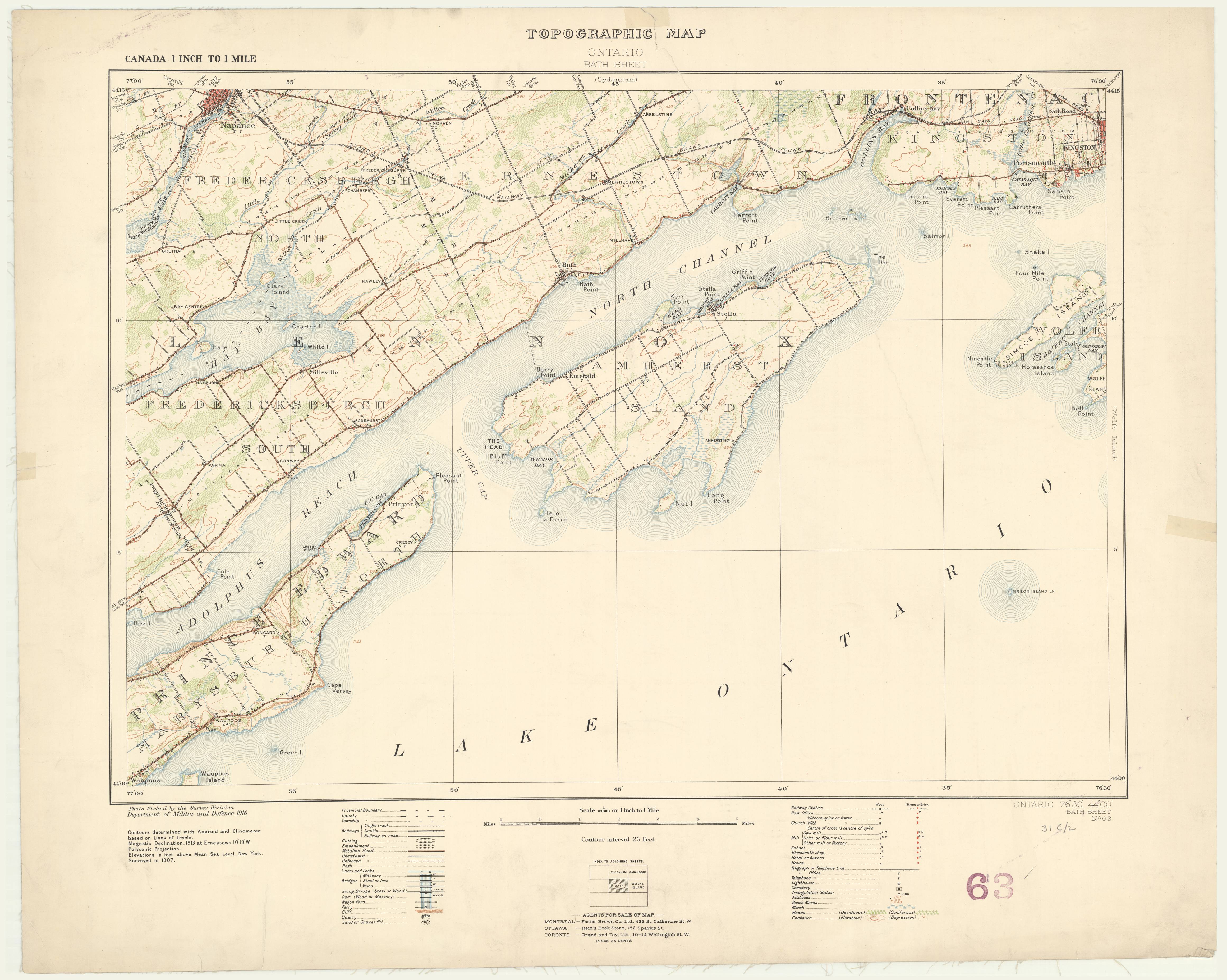
Bath, Ontario. 1:63,360. Map Sheet 031C02, [ed. 1], 1916
This is a georeferenced raster image of a printed paper map of the Bath, Ontario region (Sheet No. 63), published in 1916. It is the first edition in a series of four maps, published between 1916 and 1939.
The survey for this map was conducted in 1907, as part of a national topographical survey originally commissioned by Department of Militia and Defence in 1904. This survey was completed by the Geographical Section, General Staff, Department of National Defence.
View in Scholars GeoPortal | Download image
Hover over the map with your cursor to magnify an area, and scroll to zoom in and out.


