
Bath, Ontario. 1:63,360. Map Sheet 031C02, [ed. 1], 1916
This is a georeferenced raster image of a printed paper map of the Bath, Ontario region (Sheet No. 63), published in 1916. It is the first edition in a series of four maps, published between 1916 and 1939.

Barrie, Ontario. 1:63,360. Map Sheet 031D05, [ed. 1], 1928
This is a georeferenced raster image of a printed paper map of the Barrie, Ontario region (Sheet No. 105), published in 1928. It is the first edition in a series of six maps, published between 1928 and 1950. It is one of the first maps that was created through the use of aerial imagery as a topographic tool.

Golden Lake, Ontario. 1:63,360. Map Sheet 031F11, [ed. 1], 1937
This is a georeferenced raster image of a printed paper map of the Golden Lake, Ontario region (Sheet No. 031F11), published in 1937. It is the first and only edition of this map.
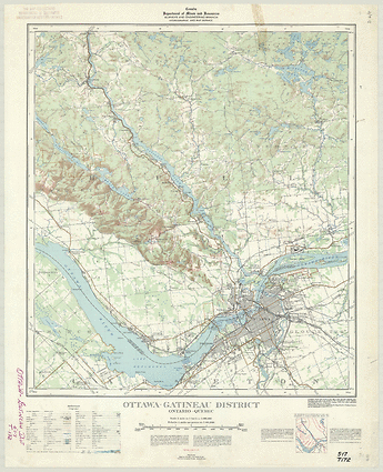
Ottawa- Gatineau District, Ontario. 1:63,360. Map Sheet 031G05-G12, [ed. 2], 1939
This is a georeferenced raster image of a printed paper map of the Ottawa- Gatineau District, Ontario region (Sheet No. 031G05-G12), published in 1939. It is the second edition in a series of maps, published between 1931 and 1953. Unlike most other maps in the 1:63,360 series, this map does not cover a single index tile; rather, it sits in the middle of two separate tiles.

Gananoque, Ontario. 1:63,360. Map Sheet 031C08, [ed. 1], 1916
This is a georeferenced raster image of a printed paper map of the Gananoque, Ontario region (Sheet No. 61), published in 1916. It is the first and only edition of this map, and is unusual in that coverage extends into the United States of America. In many of these cases, information was obtained from U.S. Mapping series, before being scribed by Canadian mapping agencies.
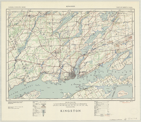
Kingston, Ontario. 1:63,360. Map Sheet 031C01-C02-C07-C08, [ed. 1], 1940
This is a georeferenced raster image of a printed paper map of the Kingston, Ontario region (Sheet No. 031C01-C02-C07-C08), published in 1940. It is the first and only edition of this map. Unlike most other maps in the 1:63,360 series, this map does not cover a single index tile; rather, it sits in the middle of four separate tiles.

Tobermory, Ontario. 1:63,360. Map Sheet 041H03-H04, [ed. 1], 1946
This is a georeferenced raster image of a printed paper map of the Tobermory, Ontario region (Sheet No. 041H03-H04), published in 1946. It is the first and only edition of this map.

Sault Ste. Marie, Ontario. 1:63,360. Map Sheet 041K09, [ed. 1], ungridded, 1939
This is a georeferenced raster image of a printed paper map of the Sault Ste. Marie, Ontario region (Sheet No. 041K09), published in 1939. It is the first and only edition of this map, and is unusual in that the map was extended in order to include an area outside of the index grid, the Peninsula. A gridded version of this map (MB Grid System) was also published in the same year.

Niagara Falls, Ontario. 1:25,000. Map Sheet 030M03A, ed. 2, 1963
This is a georeferenced raster image of a printed paper map of the Niagara Falls, Ontario region (Sheet No. 030M03A), published in 1963. It is the second edition in a series of three maps, published between 1962 and 1973, and is unusual in that coverage extends into the United States of America. In many of these cases, information was obtained from the U.S. American Mapping series, before being scribed by the Canadian Design Service.

Algonquin, Ontario. 1:25,000. Map Sheet 031B12G, ed. 1, 1968
This is a georeferenced raster image of a printed paper map of the Algonquin, Ontario region (Sheet No. 031B12G), published in 1968. It is the first edition in a series of two maps, published between 1968 and 1977. Unlike most other maps in the 1:25,000 series, this map is not of a populated area.
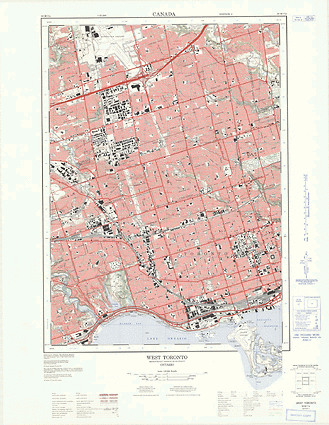
West Toronto, Ontario. 1:25,000. Map Sheet 030M11E, ed. 3, 1974
This is a georeferenced raster image of a printed paper map of the West Toronto, Ontario region (Sheet No. 030M11E), published in 1974. It is the third edition in a series of three maps, published between 1961 and 1974. It is unusual in that the map was extended in order to include an area outside of the index grid, the Toronto Islands.
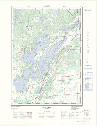
Dog Lake, Ontario. 1:25,000. Map Sheet 031C08F, ed. 2, 1972
This is a georeferenced raster image of a printed paper map of the Dog Lake, Ontario region (Sheet No. 031C08F), published in 1972. It is the second edition in a series of two maps, published between 1960 and 1972.
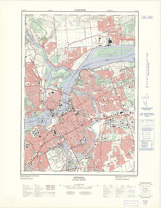
Ottawa, Ontario. 1:25,000. Map Sheet 031G05G, ed. 3, 1971
This is a georeferenced raster image of a printed paper map of the Ottawa, Ontario region (Sheet No. 031G05G), published in 1971. It is the third edition in a series of three maps, published between 1961 and 1971, and is unusual in that coverage extends into the United States of America. In many of these cases, information was obtained from the U.S. American Mapping series, before being scribed by the Canadian Design Service.
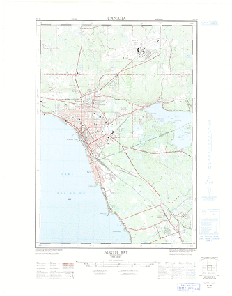
North Bay, Ontario. 1:25,000. Map Sheet 031L06D, ed. 1, 1965
This is a georeferenced raster image of a printed paper map of the North Bay, Ontario region (Sheet No. 031L06D), published in 1965. It is the first edition in a series of two maps, published between 1965 and 1977. It is the only map for this area of Ontario.
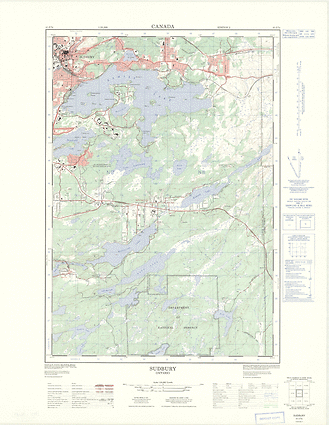
Sudbury, Ontario. 1:25,000. Map Sheet 041I07E, ed. 2, 1977
This is a georeferenced raster image of a printed paper map of the Sudbury, Ontario region (Sheet No. 041I07E), published in 1977. It is the second edition in a series of two maps, published between 1965 and 1977.

